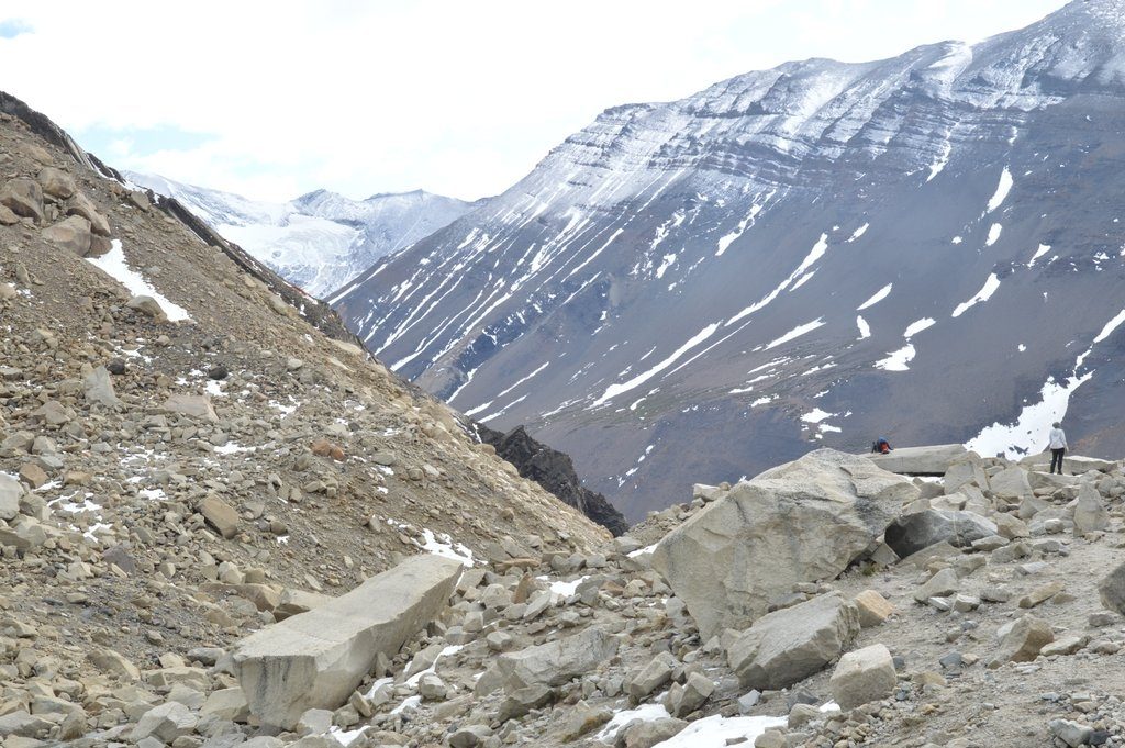
Reading Time: 3 minutesI pause, spot a good foothold, set my hiking pole, 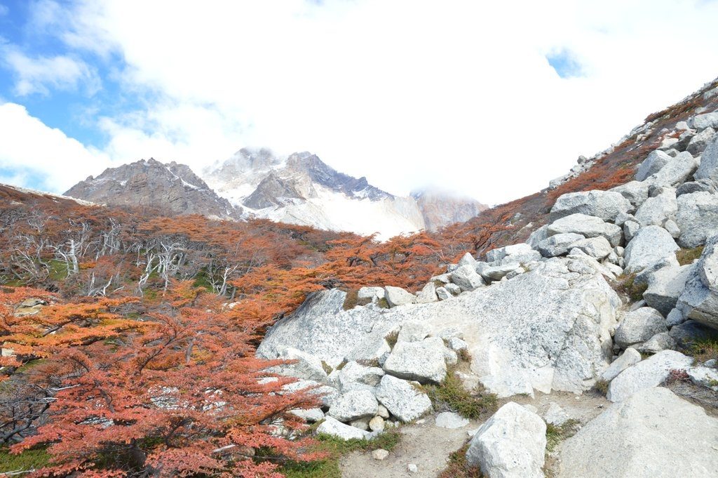 fix my foot on the spot, and lift myself up the next rocky stair. I’ve been stair climbing for the last forty five minutes for nearly a kilometer, not switchbacks mind you, but uneven makeshift boulder stairs, ascending past the red and yellow and green and orange lenga beech forests, past the underachieving lenga beech shrubs that hide dripping little brooks of ice melt, onto slippery boot packed snow passing the tree line, and into a debris field of broken grey rocks like god accidentally dropped a mountain that splattered like a broken dish. I’ve shed my hat, gloves, neck cover and a couple of shirts on this thousand foot ascent, still heating up as the air cools with altitude.
I see the spires over the debris; I know I am close to my reward. The path levels cutting in front of some large boulders following the contour of the mountain. I feel the distant slope of the mountain on the other side of the valley following me as I move along the high trail, the same way the moon follows your car on the road at night. 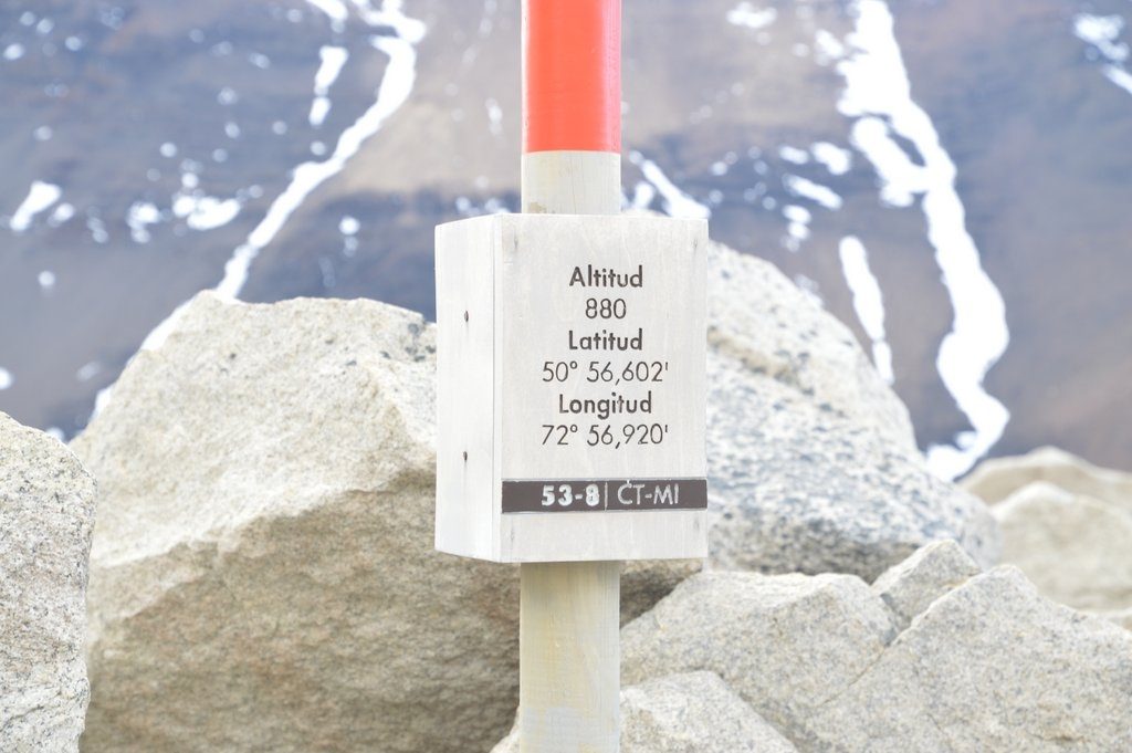 The trail cuts left, through a doorway of two boulders, past a position marker that tells me latitude, longitude, and altitude and finally out into an opening. I made it! My ascent is complete. I raise my hiking poles over my head pumping in exultation.
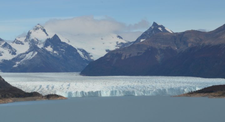
As I walk towards the green silty waters of the lagoon gazing across the lagoon to the steep embankment on its far shore, to a patch of snow on the shoulders of the embankment, and on up to the top of the three spires, I am overwhelmed by the jaw-dropping beauty and immenseness of this place, pausing for a moment, my eyes moistening ever so slightly.
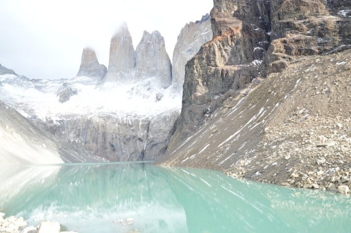
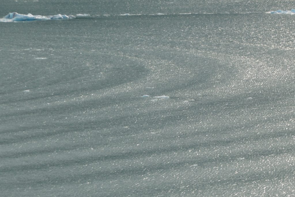
My mind reflexively reviews the photographic possibilities and I quickly move to the spot where I want to shoot from. The wind relaxes for a moment; the water, smooth. The tops of the spires are visible with just wisps of clouds at their summits, the more ominous clouds visible in the background ready to obscure my shot. 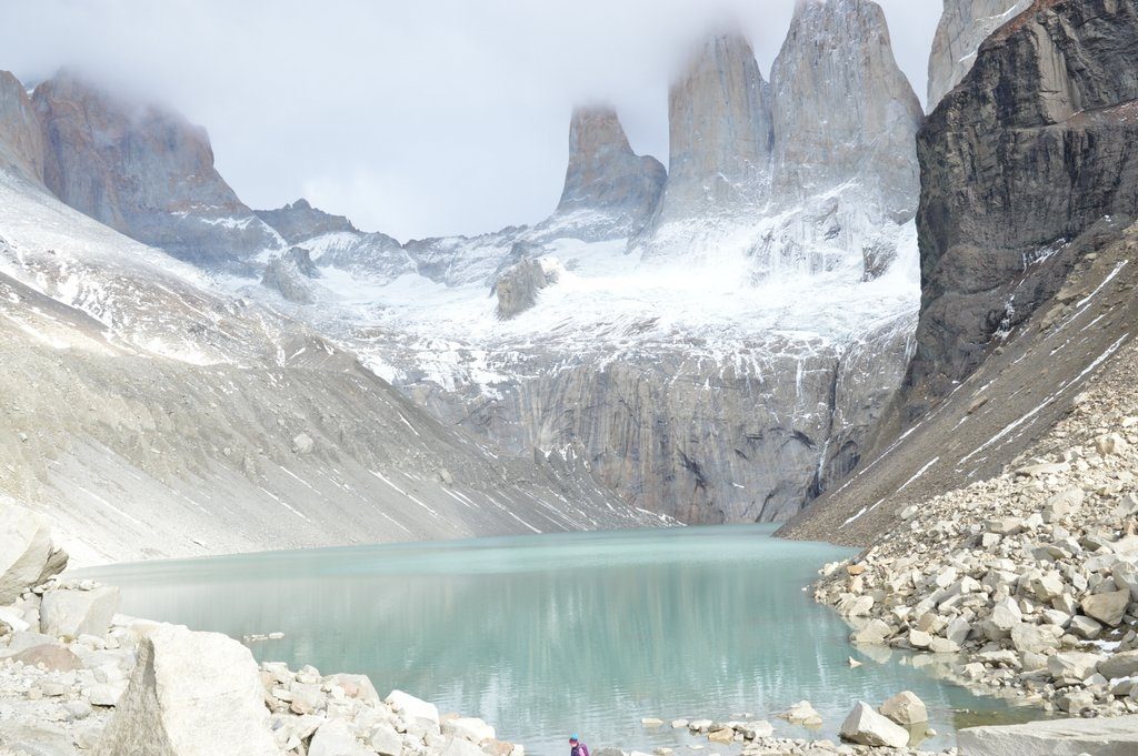 I don’t waste anytime getting the shots. I compose shots of the lagoon with its reflections and the spires in the background. I think it is a beautiful composition, a photographer’s dream.
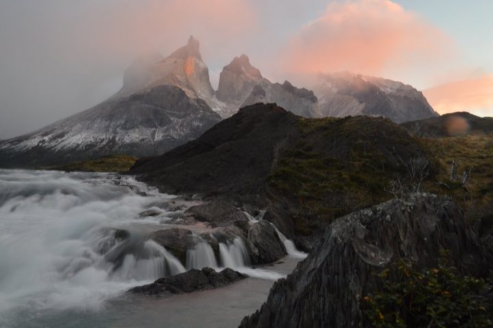
But this place is too big. I can’t capture the feeling on a photo. I close my eyes and try to picture the scene before me in my mind’s eye. It is still too big for that. You have to see it for yourself. I hear the cascading of an avalanche, the sound rumbling down the embankment and over the lagoon. The sound is too big. You have to hear it for yourself.
How easy I could have missed this hike! I only found out about it eavesdropping on a conversation the night before. I overheard the words “premier hike of the park” and jumped to my feet to find out about it. I couldn’t resist this hike, even knowing that this would be a solo effort, that I would have to be on the trail at the crack of dawn, to complete it.
I hope that I have taken some pictures that hint at the magnificence of this place. Pictures cannot capture it but I offer them as an invitation to those that appreciate such things, because there is no way my camera can bring it back to you. I hope you accept the invitation, that the skies are clear for you and your footing sure should you undertake this pilgrimage, to this very special place.
P.S. The described hike is the Mirador del Torres, at Torres del Paine, Patagonia, Chile.
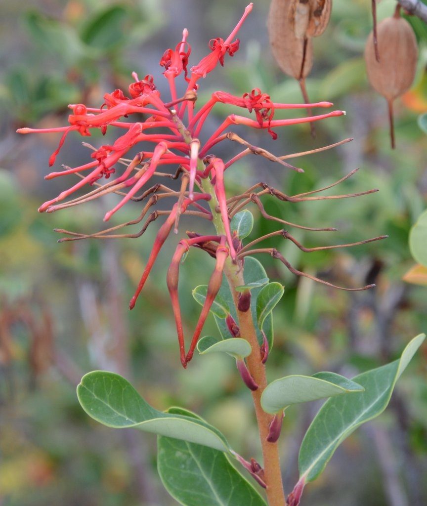

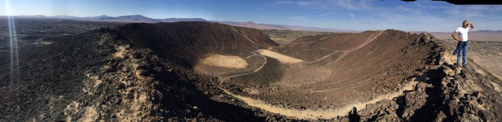
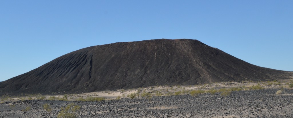
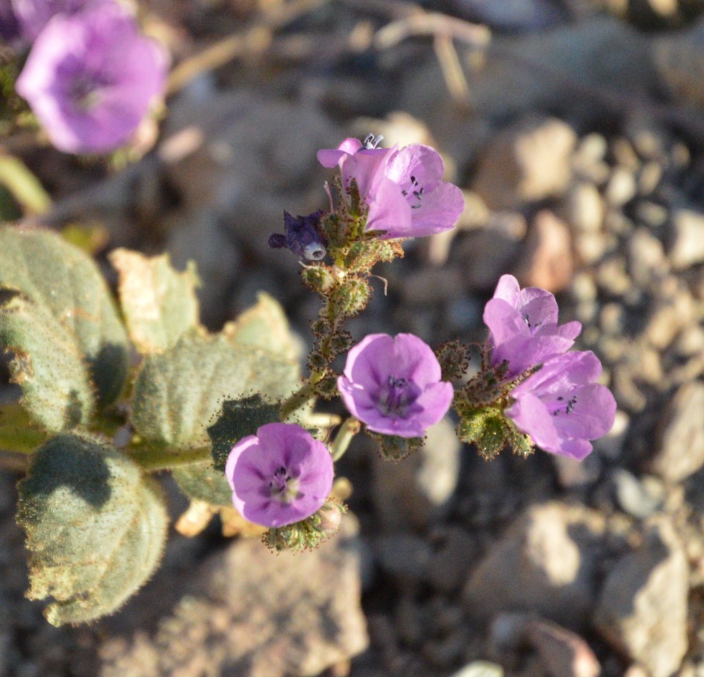 Flowers dot the landscape, but I wouldn’t use the word carpet the landscape, we probably missed the peak of the once in a decade bloom, flowers already seeding the sands for their next decade festival.
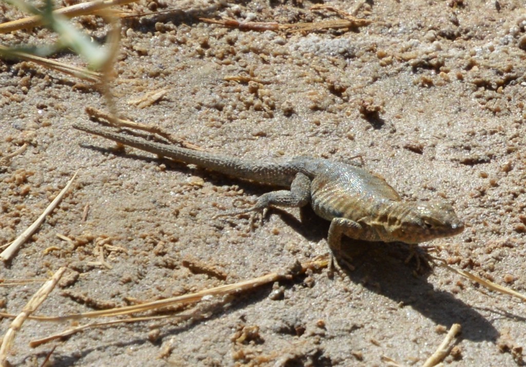
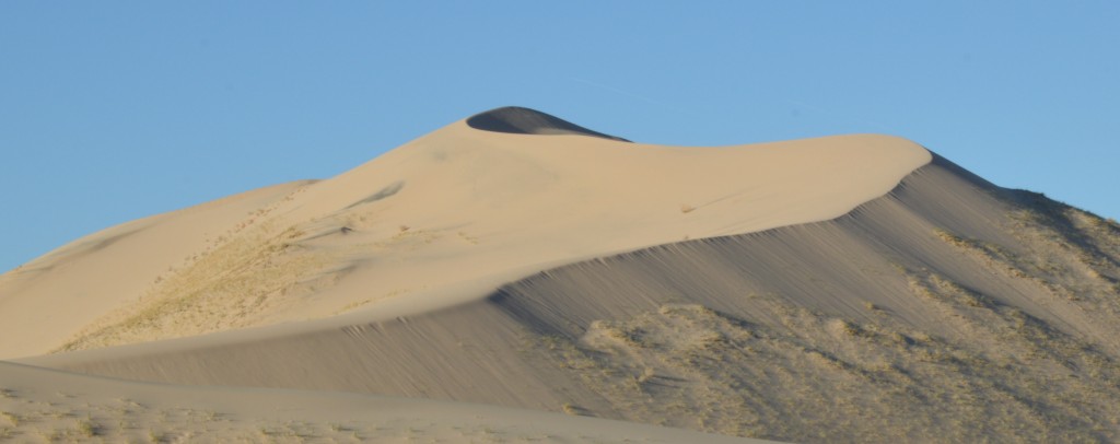
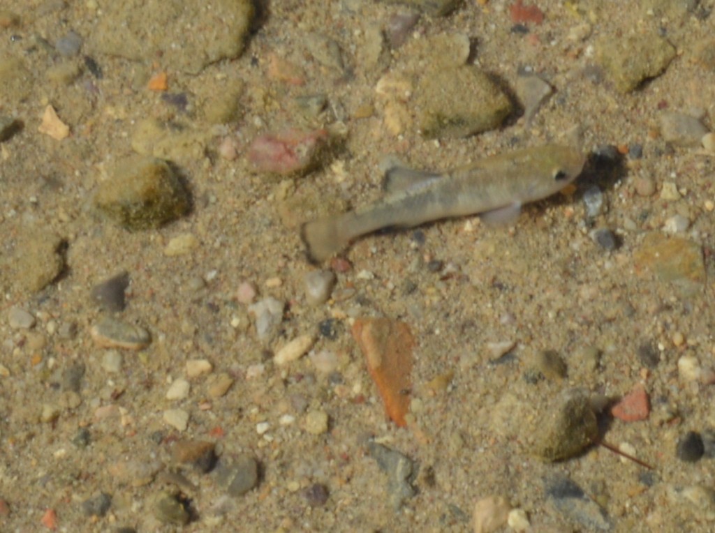 These hardy species have adapted themselves as the salt lake in Death Valley evaporated giving way to the salt flats we already visited. The trail is a boardwalk that thoughtfully keeps the foot traffic up and off the salt marsh that these fish need to survive.
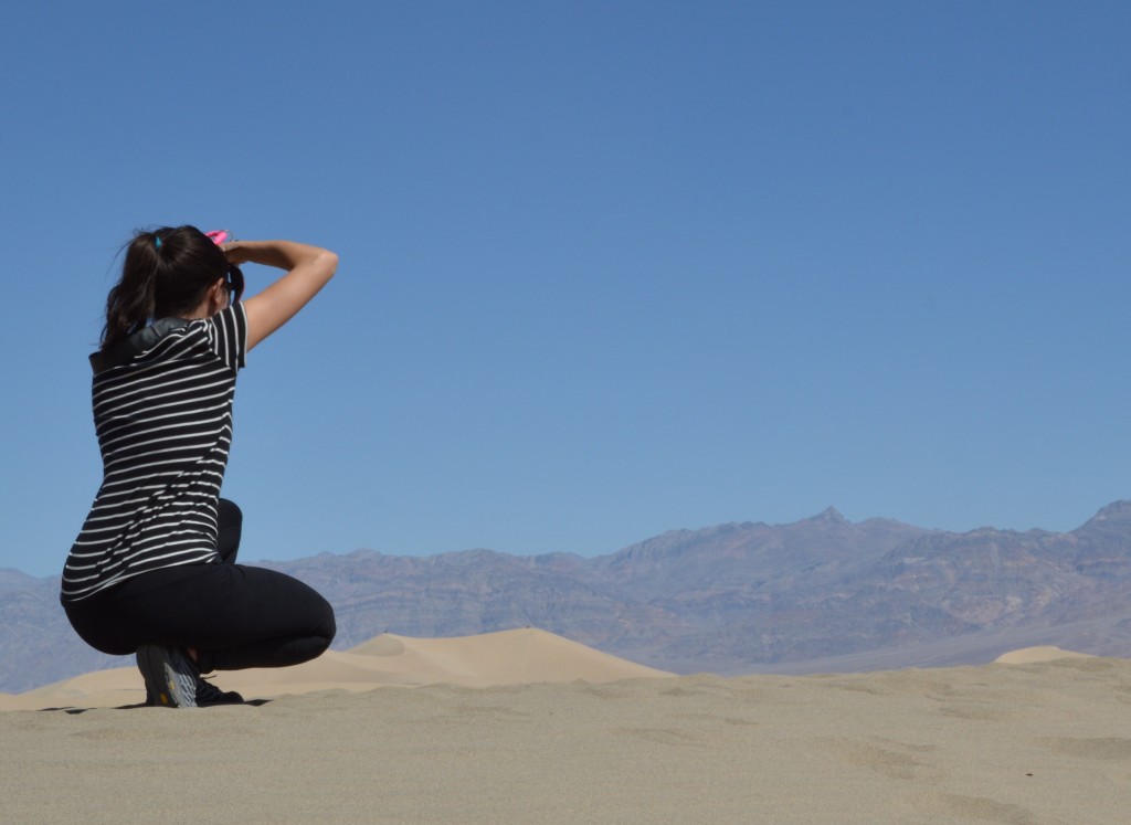 And this is where we part ways, Max, Brooke, and Ian off to Northern California, Brooke wanting to get back on Saturday, so she has a day of off. Chris and I head South, our only plan is to avoid the freeway on the way back.